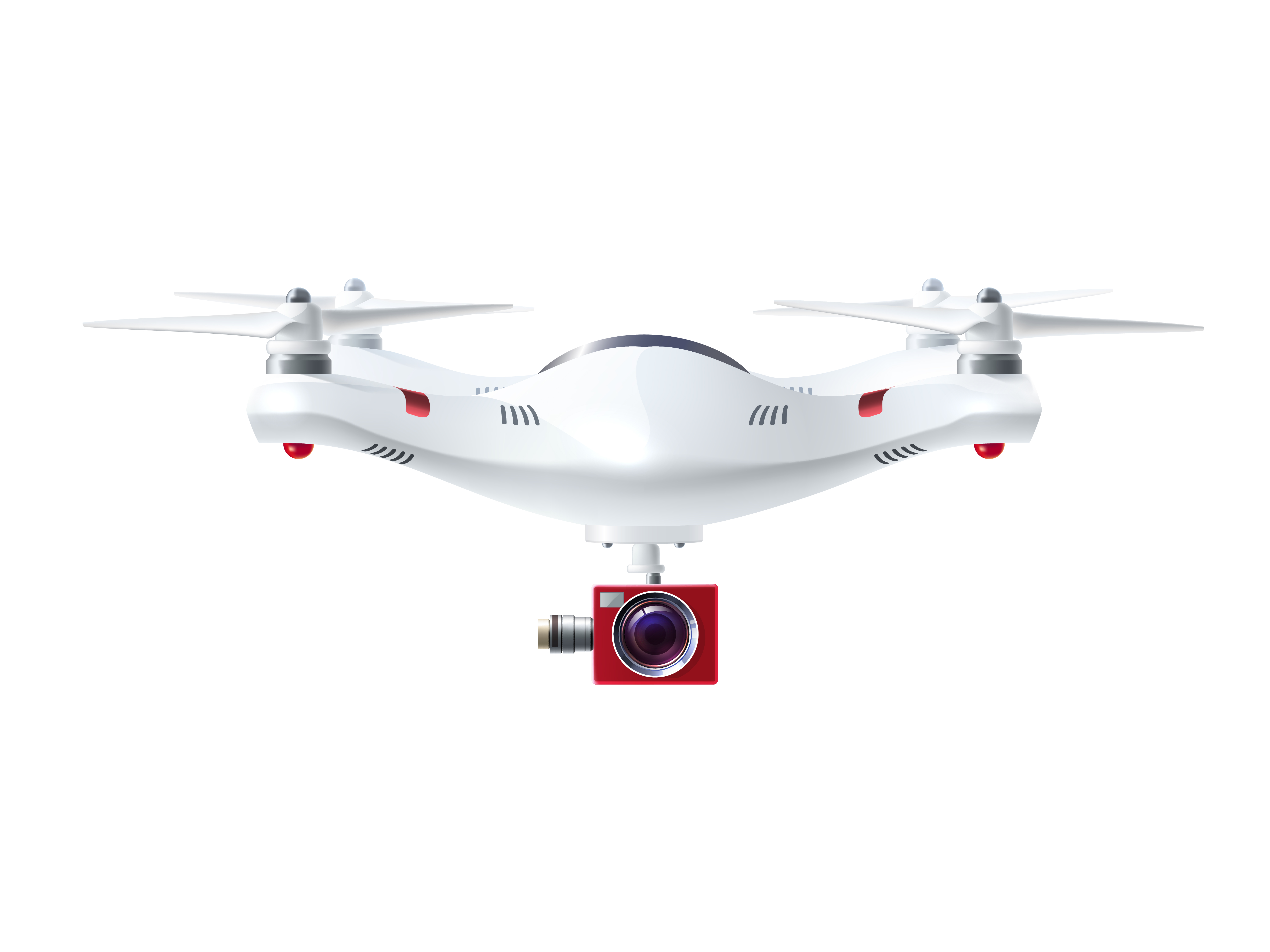
Drone technology
Knowteq concepts have been leveraging technology for real-time governance to enable effective and efficient service delivery to its clients and citizens. With the rising demand for drone surveys, we intend to expand the utilization of drones in various sectors such as police, survey tourism, mining, administration & urban development, agriculture & allied sectors, disaster management, and project monitoring, etc.
Our GIS gathers aerial data using downward-facing sensors like RGB or multispectral cameras, as well as LIDAR payloads. The ground is shot numerous times from different angles during a survey with an RGB camera, and each image is labeled with coordinates. We include the Photogrammetry software which is the process of combining photographs of the same spot on the ground from several vantage points to create comprehensive 2D and 3D maps, extract data such as precise distances or volumetric values, and elevation models.

Professional Skill Development will cover several areas of functions that are:
- LiDAR , Photogrammetry, GIS mapping & Surveying (1000+ types of Applications)
- Live streaming events.
- Real Estate Photography
- Roof inspections
- Asset Inspection
- Emergency Response
- Agriculture
- Search and Rescue
- Crop spraying
- Marine Rescue
- Crop monitoring
- Disaster zone mapping
- Multispectral/thermal/NIR cameras
- Disaster Relief
- Product Delivery
